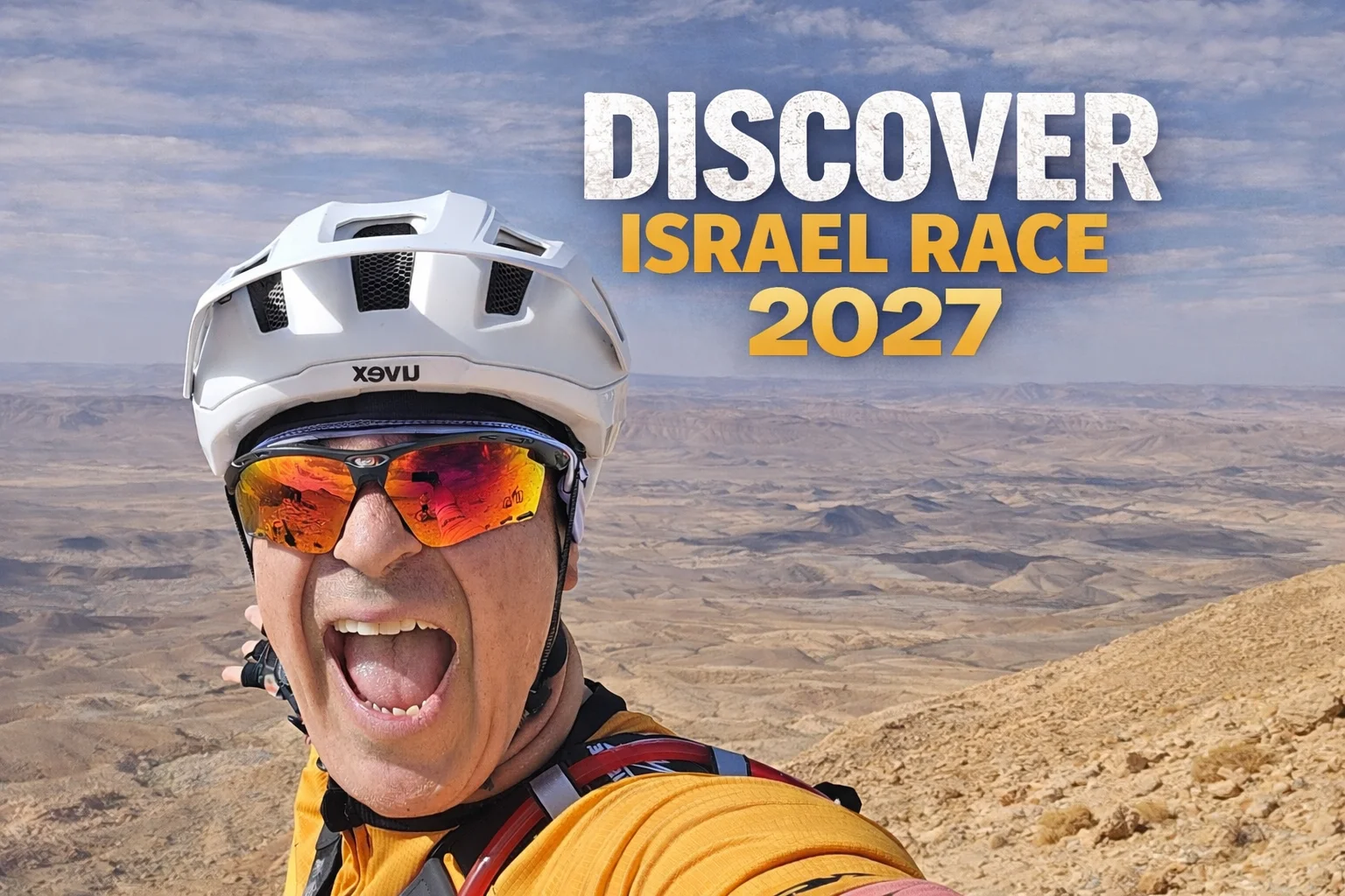
Discover Israel Race 2027
{{ t.kicker }}

Discover Israel Race 2027

{{ t.date }}{{ t.start }}{{ countdown }}
{{ t.register }} {{ t.gpx }}
{{ t.aboutKicker }}

{{ t.aboutTitle }} {{ t.aboutTitle2 }}

{{ p }}

{{ t.aboutClose }}

{{ t.aboutCta }}
{{ t.mapKicker }}

{{ t.mapTitle }}

{{ t.mapText }}

{{ t.startL }} · Rosh HaNikra {{ t.endL }} · Eilat
{{ m.label }} {{ m.note }}
{{ m.el }}
{{ m.km }}{{ m.gain }}
↓ GPX
Trail information: 35% singletrack, 1109 m highest point, −233 m lowest point, 93% unpaved, 1108 km, 15,750 m climbing, food and water 2/5 Racing options: self-supported solo, solo half race south, self-supported couple, couple half race south, finisher only, gravel edition
{{ t.routeKicker }}

{{ t.routeTitle }}

{{ t.edLabel }}
{{ fullLabel }}

{{ edNote }}

{{ l.num }}

{{ l.title }}

{{ l.sub }}
{{ c }}
↓ {{ l.dlLabel }}

{{ p }}

{{ t.hard }} {{ l.hard }}
{{ t.feel }} {{ l.feel }}
The rules: self-supported, tracking device, follow the route, 12 days max, rules for pairs, adventure finishers How to get there: getting to Nahariya and Modi'in, back from Eilat and Lehavim
{{ t.pplKicker }}

{{ t.pplTitle }}

{{ pplSummary }}
{{ p.n }}
{{ p.name }}
{{ p.cat }} ★ {{ p.vet }}

{{ t.linksTitle }}

{{ k.title }} {{ k.text }} {{ k.cta }} {{ arrow }}