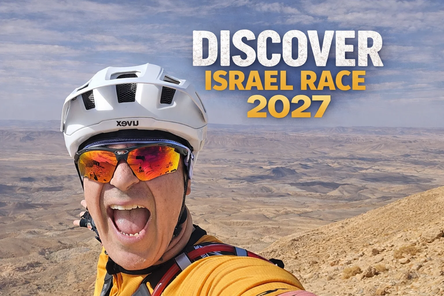
Discover Israel Race 2027
ULTRA BIKEPACKING RACE · ACROSS ISRAEL

Discover Israel Race 2027

Thu, 1 April 2027 · 07:00Start: Nahariya180 days to go
ABOUT THE EVENT

Over 1,000 kilometres. Just you, your bike and the land.

On 1 April 2027 at 7am, you’ll stand on the start line in Nahariya with everything you need in your bags. From here, nobody carries you: no support car, no feed stations, no one telling you when to stop.

You’ll ride from the green forests of the Galilee, through the Jerusalem hills and into the absolute silence of the desert, all the way to the Red Sea at Eilat. 12,960 metres of climbing on MTB, 14,450 on Gravel. Nights under the stars. Sunrises no one else will see.

There will be moments you want to quit. That’s exactly where you find out who you are. And at the finish in Eilat, you’ll know you crossed the whole country on your own strength.

Full or half, solo or as a pair. The start line is waiting.

I’m in →
THE MAP

Two routes, one trail

From Nahariya to Eilat. MTB rides trails and singletrack; Gravel takes wider, faster tracks. The grey line shows the other route for comparison.

Start · Nahariya Finish · Eilat
MTB Trails, singletrack and technical sections
1,156 km~12,960 m climbing
↓ GPX
Gravel Wide, faster dirt roads
1,021 km~14,450 m climbing
↓ GPX
Trail information: 35% singletrack, 1109 m highest point, −233 m lowest point, 93% unpaved, 1,021–1,156 km, 12,960–14,450 m climbing, food and water 2/5 Racing options: self-supported solo, solo half race south, self-supported couple, couple half race south, finisher only, gravel edition
THE ROUTE

Let us tell you more about it

Choose your category
Download full route (MTB)
01

Into the Galilee

KM 0–70 | From the Mediterranean to the mountains
70 km ~1,770 m climbing High point 811 m
↓ Download GPX for leg 1 · MTB

Discover starts at sea level, a stone's throw from the Mediterranean. The first kilometres are flat and friendly, and that's exactly the trap.

The coast falls away quickly and the route heads up into the Western and Upper Galilee: rocky tracks, oak forest, steep wadis and one long climb after another.

Your legs are fresh, and you'll need every bit of that. By kilometre 70 you've already climbed almost 2,000 metres.

WHAT MAKES IT HARD The opening looks gentle and isn’t. The climbs come back to back, and there’s no easy stretch to settle into your rhythm.
WHAT IT FEELS LIKE Salt on your lips, the sea shrinking behind you, and the first real climb ahead. It has begun.
02

The High North

KM 70–150 | Upper Galilee → Northern Golan
80 km ~2,110 m climbing High point 1,173 m
↓ Download GPX for leg 2 · MTB

One of the hardest climbing sections of the whole race. The route pushes north through the Upper Galilee, then swings east and climbs onto the high plateau of the northern Golan.

For the first time you pass 1,000 metres. The air cools, the ground turns open and exposed, and the climbs get longer.

More than 4,000 metres of climbing in the first 150 km. Discover doesn’t wait for the desert to show its teeth.

WHAT MAKES IT HARD Long, steep climbs at altitude, and a huge amount of vertical packed into the first day.
WHAT IT FEELS LIKE Cold wind on the ridge, volcanic rock under your tyres, and a view across three countries.
03

Across the Golan

KM 150–230 | From the high country toward the Sea of Galilee
80 km ~620 m climbing High point 1,068 m
↓ Download GPX for leg 3 · MTB

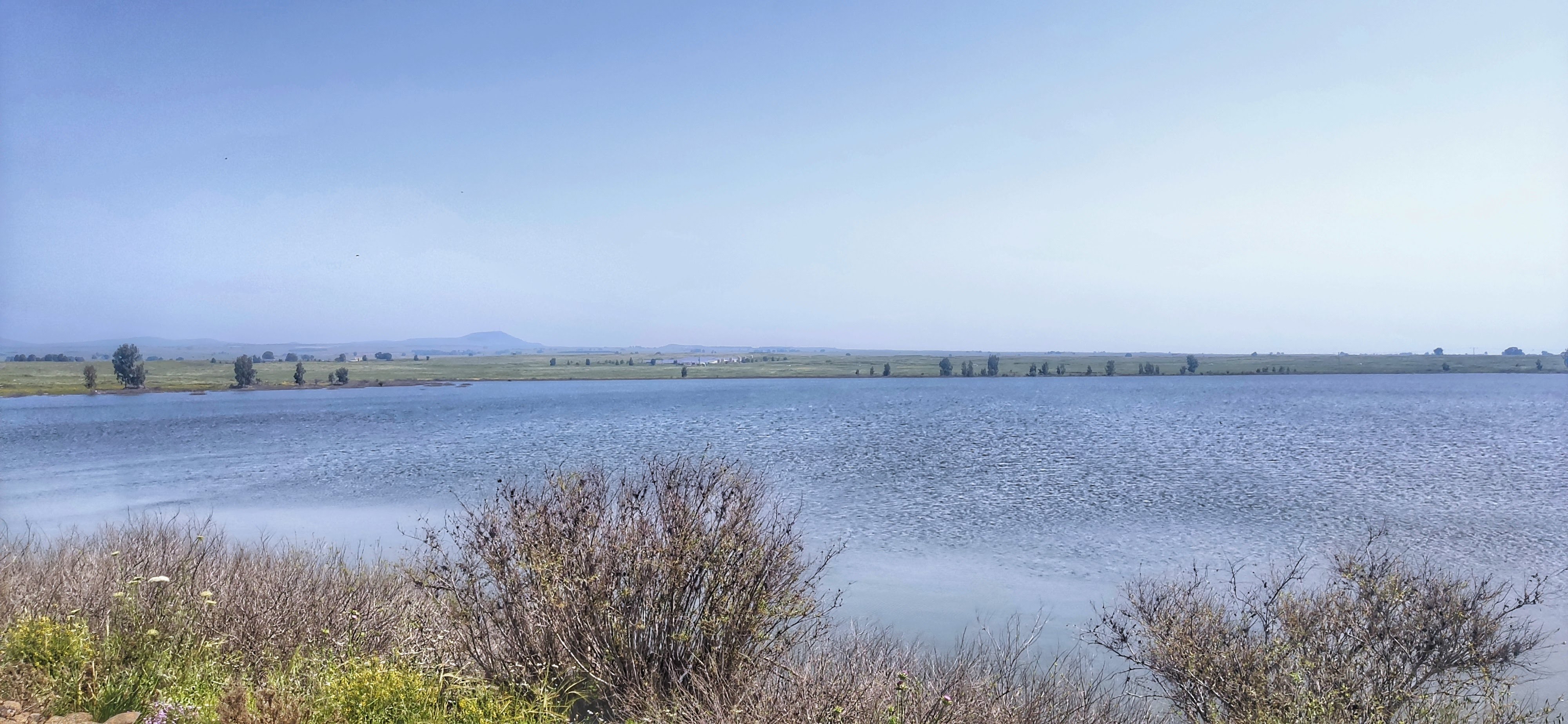
After the high north, the race changes character. The route runs south across the Golan plateau, with wide-open views and a long, gradual drop toward the Sea of Galilee.

After so many hours of climbing, this feels fast. Enjoy it, but hold back: the finish is still almost a thousand kilometres away.

WHAT MAKES IT HARD Keeping your effort in check when the terrain finally lets you fly.
WHAT IT FEELS LIKE The land opens up beneath you, and the Kinneret glints in the distance.
04

Below Sea Level

KM 230–300 | The Jordan Valley
70 km ~1,440 m climbing High point 362 m Low point -216 m
↓ Download GPX for leg 4 · MTB

Suddenly you’re in another world. The green highlands give way to the warm Jordan Valley, 215 metres below sea level.

Don’t mistake it for a downhill transfer. These 70 km hide roughly 1,600 metres of climbing, and they’re much harder than the map suggests.

WHAT MAKES IT HARD Heat, short punchy climbs, and a body adjusting to a completely different climate.
WHAT IT FEELS LIKE From over 1,000 metres above the sea to 200 below it, in a single day. That’s Discover Israel.
05

Crossing the Country

KM 300–485 | North-central Israel → Modi’in
185 km ~1,320 m climbing High point 354 m Low point -18 m
↓ Download GPX for leg 5 · MTB

One of the longest transitions of the race. The big northern climbs fade and the route turns fast and rolling as it crosses central Israel toward Modi’in.

On the profile it looks easy, and in an ultra that’s the danger. The kilometres pile up, fatigue creeps in, and eating, drinking and looking after the bike matter as much as your climbing legs.

The fast riders cover ground here. For everyone else, this is where the race becomes a test of patience.

WHAT MAKES IT HARD Pure distance, fatigue that quietly builds, and the temptation to go too hard because the terrain is fast.
WHAT IT FEELS LIKE The mountains are behind you. The race most definitely isn’t.
06

The Climb to Jerusalem

KM 485–610 | Modi’in → Jerusalem → Judean Hills
125 km ~1,540 m climbing High point 829 m
↓ Download GPX for leg 6 · MTB

Then the road tilts up again. From the lowlands Discover climbs into the Judean Hills and reaches Jerusalem at around km 540.

Your legs aren’t fresh any more, and small climbs start to feel big. Reaching Jerusalem doesn’t end it: the route keeps climbing through the hills before it finally turns south.

WHAT MAKES IT HARD Serious climbing that arrives exactly when tiredness has become permanent.
WHAT IT FEELS LIKE Stone terraces, pine forests and the golden city on the horizon. Half the country behind you, half still ahead.
07

The Gateway to the Desert

KM 610–745 | Southern Israel → Arad
135 km ~1,810 m climbing High point 796 m
↓ Download GPX for leg 7 · MTB

About 2,400 metres of climbing in just 135 km: one of the hardest sections of Discover 2027.

The green disappears, the spaces grow wider and the villages grow further apart. By Arad there’s no doubt: you’re riding in the desert now, and Discover has a new personality.

WHAT MAKES IT HARD A lot of climbing on tired legs, on terrain that gets more exposed with every kilometre.
WHAT IT FEELS LIKE The last trees fade in the mirror. The silence begins.
08

Deep into the Negev

KM 745–890 | Arad → Dimona → Sde Boker → Mitzpe Ramon
145 km ~1,320 m climbing High point 863 m
↓ Download GPX for leg 8 · MTB

This is the Negev. The route strings together some of Israel’s most dramatic desert landscapes on its way to Mitzpe Ramon.

Distance works differently here. A place that looks close can be hours away. Shade becomes precious and water becomes strategy.

At around 890 km you reach Mitzpe Ramon, over 800 metres up, on the rim of the crater. One of the most spectacular moments of the journey, and the race is still far from over.

WHAT MAKES IT HARD Exposure, water planning, big swings between day and night temperatures, and the mental weight of endless horizons.
WHAT IT FEELS LIKE A tiny rider in an enormous landscape, under more stars than you’ve ever seen.
09

The Long Descent South

KM 890–995 | Mitzpe Ramon → Southern Negev
105 km ~160 m climbing High point 828 m
↓ Download GPX for leg 9 · MTB

From the high desert, the route drops toward the low desert over about 100 km. On paper that sounds easy. After 900 km, nothing is easy.

Pace, water and focus become critical, because long descents hide how tired you really are. The landscape grows ever more remote. Eilat starts to feel possible, but it’s still a long way off.

WHAT MAKES IT HARD Deep fatigue, exposure, and staying sharp after days in the saddle.
WHAT IT FEELS LIKE You can almost smell the finish. Almost.
10

The Final 160

KM 995–1,156 | Arava → Timna → Eilat
161 km ~870 m climbing High point 529 m
↓ Download GPX for leg 10 · MTB

The route turns south into the vast open spaces of the Arava. By now you’re not only racing the distance: you’re racing sleep, heat, wind, mechanicals and your own decisions.

Around km 1,110 you pass Timna. From there, only one direction is left: south. The mountains close in, the kilometres count down, and after more than 1,150 km you roll into Eilat and the Red Sea.

WHAT MAKES IT HARD Exposure, exhaustion and long desert kilometres, with a finish close enough to imagine and far enough to hurt.
WHAT IT FEELS LIKE Red mountains, blue sea, and nowhere further south to ride.
The rules: self-supported, tracking device, follow the route, 12 days max, rules for pairs, adventure finishers How to get there: getting to Nahariya and Modi'in, back from Eilat and Lehavim
PARTICIPANTS

Who’s riding this year

0 registered riders · 0 Discover veterans

Links and files

PARTNERS ON THIS JOURNEY

The partners behind the community

Israeli companies that ride with us: they back our events, offer perks to community members and help bikepacking in Israel grow.

CTC · Trek Israel Trek importer in Israel

Trek's store network in Israel. Community members get 20% off bikepacking gear, and branches rent out gear for your first trip.

Visit site →
Joe's No Flats Sealant and repairs

An Israeli maker of sealant, lubes and repair kits. They built a full bikepacking repair kit with us: everything you need so a flat never ends your ride.

Visit site →
Small World Satellite tracker rental

Rents out satellite trackers and communicators. In the desert and in areas with no signal, your family can follow your location, and in an emergency you can call for help.

Visit site →
TwoNav GPS navigation

The only devices that display Shvilnet maps perfectly, with a big screen and the Land planning app. Site visitors get special deals.

Visit site →
Swift Optics Riding sunglasses

An Israeli company making quality glasses at fair prices. Protection from sun, dust and wind over long days on the trail, and 20% off for the community.

Visit site →
SUPPORT THE SITE

This site is run by the community. Every contribution helps.

Support via PayBox →
Discover Israel Race 2027
{{ t.kicker }}

Discover Israel Race 2027

{{ t.date }}{{ t.start }}{{ countdown }}
{{ t.register }} {{ t.gpx }} {{ t.pplBtn }}
{{ t.aboutKicker }}

{{ t.aboutTitle }} {{ t.aboutTitle2 }}

{{ p }}

{{ t.aboutClose }}

{{ t.aboutCta }}
{{ t.mapKicker }}

{{ t.mapTitle }}

{{ t.mapText }}

{{ t.startL }} · {{ t.startPlace }} {{ t.endL }} · Eilat
{{ m.label }} {{ m.note }}
{{ m.el }}
{{ m.km }}{{ m.gain }}
↓ GPX
Trail information: 35% singletrack, 1109 m highest point, −233 m lowest point, 93% unpaved, 1,021–1,156 km, 12,960–14,450 m climbing, food and water 2/5 Racing options: self-supported solo, solo half race south, self-supported couple, couple half race south, finisher only, gravel edition
{{ t.routeKicker }}

{{ t.routeTitle }}

{{ t.edLabel }}
{{ fullLabel }}

{{ edNote }}

{{ l.num }}

{{ l.title }}

{{ l.sub }}
{{ c }}
↓ {{ l.dlLabel }}

{{ p }}

{{ t.hard }} {{ l.hard }}
{{ t.feel }} {{ l.feel }}
The rules: self-supported, tracking device, follow the route, 12 days max, rules for pairs, adventure finishers How to get there: getting to Nahariya and Modi'in, back from Eilat and Lehavim
{{ t.pplKicker }}

{{ t.pplTitle }}

{{ pplSummary }}
{{ p.n }}
{{ p.country }}{{ p.name }}
{{ p.cat }} ★ {{ p.vet }}

{{ t.linksTitle }}

{{ k.title }} {{ k.text }} {{ k.cta }} {{ arrow }}