← All one-day events
- Camp Kursi beach, Sea of Galilee
- Start 07:00 from Kursi National Park parking
- Route Loop
- Season Spring
- First ridden 24 Apr 2026 Rode it? Tick it in ‘What I’ve ridden’ →
How the weekend works
We meet on Thursday evening on Kursi beach for a campfire and a night picnic, and sleep on the beach. On Friday at 07:00 we ride out from the Kursi National Park car park: free and shaded. If you slept on the beach, move your car to the car park; if you arrive in the morning, park there directly. The shorter versions finish early, so Shabbat observers can get home in time.
Choose a version
Galgolan 70
- Distance
- 69 km
- Climbing
- 1,095 m
- Lowest point
- -211 m
- Highest point
- 422 m
Like the 60, but from Eliad you carry on south across the plateau and pass Ein Pik before Bnei Yehuda. Ein Aya is about a kilometre off the route if you want another dip.
Download GPX
Elevation profile
421 m
-210 m
0 km14 km28 km41 km55 km69 km
The route story
Following the 100 version-
01
Nahal Samakh and the canyon
km 0–16 All versionsLeave Kursi up Nahal Samakh, with a few water crossings. A short stretch on Road 789, then a dirt road back down to the stream, with a few mud puddles. Three more crossings where the Samakh meets Nahal El Al, then the climb up the Samakh canyon: tough, and most of us push for a bit. You reach the diversion channel, part of the Syrian attempt in the 1960s to divert water away from the lake, and carry on north to the basalt bridge for a paddle among the fish.
-
02
Ein Keshatot and the cliff-top promenade
km 16–36 All versionsBack along the same track and up to Ein Keshatot. It's a hard climb. There's a water tap at the lower gate and a café inside the site, after the climb. Then a path along the rim of the Samakh canyon to the southern Golan promenade, and along the cliffs through Hispin, Nov and Avnei Eitan to Eliad. The villages have water and food.
-
03
Ein Aya, Nahal Meitzar and the southern rim
km 36–80 100 only The 70 takes a shortcut via Ein PikFrom Eliad east and south on the upper military road, with a dip at Ein Aya. Dry off on the climb out and drop into Nahal Meitzar, one of the few places left almost untouched, stopping at a lookout above the stream. From the stream it's about half an hour of steep climbing back to the plateau. Ride the eastern rim looking out over the Yarmouk and the border junction, round the southern tip of the Golan and follow the western cliff edge, 500 m above the lake. Refill water at the Mevo Hama dining hall, and near Afik there's Ein Pik, another chance to get wet.
-
04
Bnei Yehuda and the descent to the lake
All versionsIn Bnei Yehuda, at the roundabout, there's a minimarket, pizza and a restaurant, and across the road a deli and a shop open late. From there you descend via Givat Yoav to the trail down to the lake, past Bir Ashkum, the old Bnei Yehuda. In the April 2026 version the descent skips the steep singletrack between Keren Ein Gev and Susita, which is overgrown with thorns.
-
05
Ein Gev and the Sea of Galilee beaches
All versionsReach the Ein Gev holiday village and head back north on the Sea of Galilee trail. Stop for a photo on the Ein Gev harbour pier, then follow Susita, Gofra and Levanon beaches to a final dip at Kursi.
Water and food on the way
Points from the organizer's GPX files. Check what's open before you go.Good to know
Wet feet
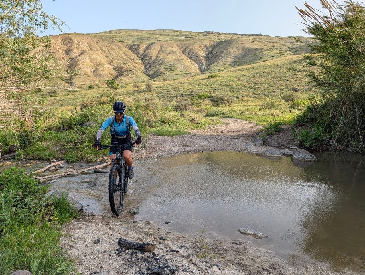
There are lots of stream crossings. Just walk through; in spring it's a treat.
After rain
After heavy rain some sections turn to sticky clay and can't be ridden. A few sunny days usually fix it. Spring is the best time, when everything is green and in bloom, before the heat.
Climbs
The Samakh canyon and the climb to Ein Keshatot are hard, and you may push. The 100 adds about half an hour of climbing out of Nahal Meitzar.
Roads
Every version has a short stretch on Road 789 on the first climb (km 7–8) and about 2 km on Road 7891 on the descent from Givat Yoav. The 60 adds about 2 km on Road 7899 to Bnei Yehuda, and the 70 and 100 about 2 km on Road 789 before Bnei Yehuda. Ride right at the edge with a flashing rear light.
GPS jamming
There's sometimes GPS jamming in the area. The route is easy to follow, and it helps to have it open on a map app on your phone too.
Split it over two days?
You can ride the 100 over two days, but climbing from the lake to the Golan on a loaded bike isn't recommended: you'll be pushing. Better to leave a car with your gear at your overnight spot. Places to camp along the way: Dalyot campsite, Avinoam grove in Hispin, Ein Pik near Afik, Amphi Golan and the Givat Yoav grove. Note: the religious villages are closed to cars on Shabbat.
Gallery
Thanks to Zeevi Pearl, who built the route and led the first ride on 24 April 2026.
Next date: Friday, 26 March 2027. We meet on Kursi beach on Thursday evening, 25 March.Event Telegram group ↗
← All one-day events